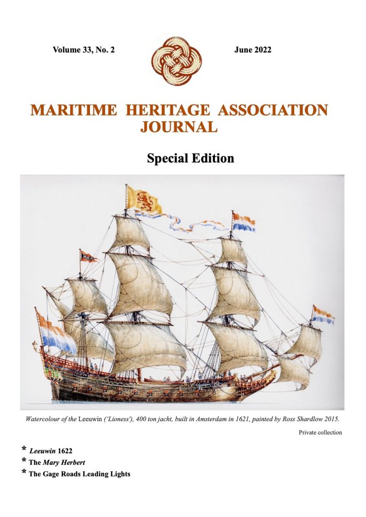
Leeuwin (Lioness) was a Dutch galleon that mapped some of the southwest corner of Australia in March 1622. It was the seventh European ship to sight the continent.
Leeuwin‘s logbook has been lost, so very little is known of the voyage. Until 2022, it was not known who captained the ship – see below at the end of this article. However, VOC letters indicate the voyage from Texel to Batavia took more than a year, whereas other vessels had made the same voyage in less than four months; this suggests that poor navigation may have been responsible for mapping this part of the Western Australian coastline. The same is suggested by the 1644 instructions to Abel Tasman, which state that,
“[I]n the years 1616, 1618, 1619 and 1622, the west coast of the great unknown South-land from 35 to 22 degrees was unexpectedly and accidentally discovered by the ships d’Eendracht, Mauritius, Amsterdam, Dordrecht and Leeuwin, coming from the Netherlands.”
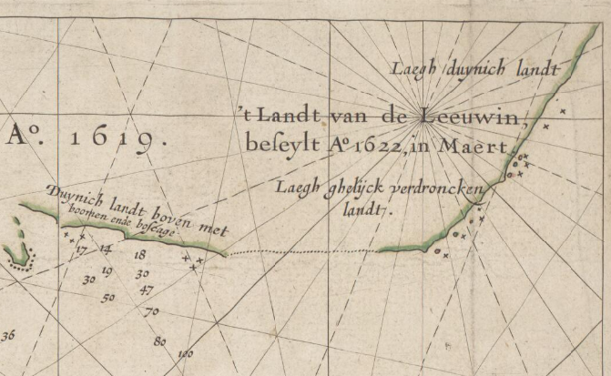
The land mapped by Leeuwin is recorded in Hessel Gerritsz’ 1627 Caert van’t Landt van d’Eendracht (Chart of the Land of Eendracht). This map includes a section of coastline labelled ‘t Landt van de Leeuwin beseylt A° 1622 in Maert (“Land made by the ship Leeuwin in March 1622”), which is thought to represent the coast between present-day Hamelin Bay and Point D’Entrecasteaux. Portions of this coastline are labelled Duynich landt boven met boomen ende boseage (“Dunes with trees and underwood at top”), Laegh ghelijck verdroncken landt (“Low land seemingly submerged”) and Laegh duynich landt (“Low land with dunes”).
The south-west corner of Australia was subsequently referred to by the Dutch as ‘t Landt van de Leeuwin (“The Land of the Leeuwin”) for a time, subsequently shortened to “Leeuwin’s Land” by the English. This name Leeuwin still survives in the name of Cape Leeuwin, the most south-westerly point of the Australian mainland, so named by Matthew Flinders in December 1801.
One of the earliest maps of Australia, the Caert van’t Landt van d’Eendracht (The Chart of the Land of Eendracht) is a map by Hessel Gerritsz covering the extent of Dutch mapping of the Western Australian coastline from 1616 to 1622.
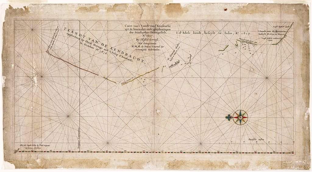
Courtesy of the National Library of Australia.
Courtesy of the National Library of Australia.
In 1801, in recognition of this early Dutch exploration, Captain Matthew Flinders named the south-western tip of the continent Cape Leeuwin. Today, Cape Leeuwin is a popular gem of the south-west, where the iconic Cape Leeuwin lighthouse overlooks the meeting place of the Southern and Indian Oceans. With thanks to WA Museum Boola Bardip.
Read more about the Cape Leeuwin Lighthouse here.
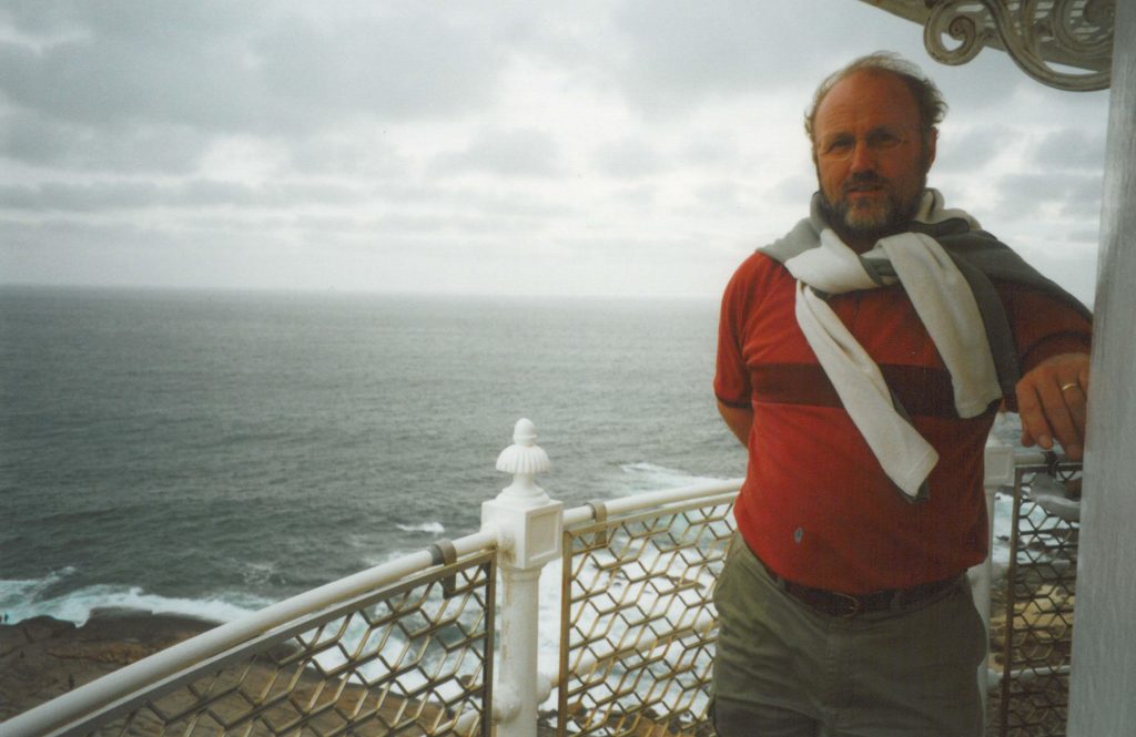
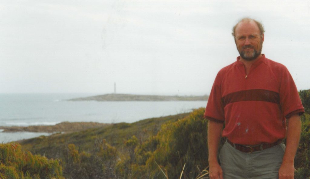
The pictures above were taken by Paul Budde in 2003. See: Following the Dutch Seafarers
400 years ago Dutch ship Leeuwin encountered WA Coast – 1622 – Free journal
Four hundred years ago, in March 1622, the Dutch ship Leeuwin encountered the south-west coast of Western Australia—the first recorded sighting of the area by Europeans. Known to the Wadandi Noongar people as Doogalup, the Dutch named it ‘t’Leeuwin’s Landt, or ‘Leeuwin’s Land’.
Skipper of the Leeuwin no longer a mystery
In 2022 Western Australia-based historian Nonja Peters solved a long-running mystery: who was the captain of Leeuwin? Through her research in freshly digitised archival documents in the Netherlands, Peters identified Jan Fransz as the person who captained Leeuwin in 1621 from Amsterdam to Batavia, the Dutch East Indies.
For more information, see Nonja Peters, “Skipper of the Leeuwin no longer a mystery” (2022).
Special Edition of the Journal celebrates the VOC Ship Leeuwin’s first recorded European visit to the South West corner in March 1622. Download your copy of this Journal at http://www.maritimeheritage.org.au/?page=journal
Cape Leeuwin Lighthouse Facebook
See also:
First Dutch contacts in Australia – Lower west coast – cape Leeuwin to Swan river 1658 – 1697